Home / Weather / SoCal Braces for Rare Multi-Hazard Storm
SoCal Braces for Rare Multi-Hazard Storm
16 Feb
Summary
- Rare storm threatens Southern California with tornadoes, 60 mph winds, and flooding.
- Mountain areas could see up to three feet of snow by Thursday.
- Peak storm activity coincides with Monday rush hour, increasing travel dangers.

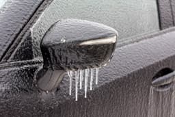
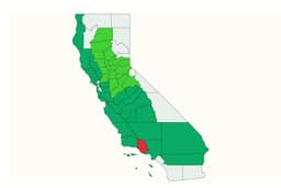
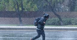
A powerful storm system is expected to bring severe weather to Southern California starting Monday, according to the National Weather Service. Forecasters describe this event as a rare combination of multiple hazards, including potential tornadoes, 60 mph winds, flash flooding, and significant mountain snow.
Peak storm activity is anticipated during Monday's morning and evening rush hours, compounding travel dangers. Rainfall rates could exceed one inch per hour in some locations. Additionally, burn scar areas face a risk of damaging debris flows. The storm system will continue to impact the region through at least mid-week.
Snow levels will drop significantly by Tuesday night into Wednesday, posing travel hazards on mountain passes. Higher elevations could accumulate up to three feet of snow by Thursday. Coastal areas are also at risk of increased flooding due to elevated high tides.