Home / Weather / Siberian Chill Sweeps Across UK, Bringing Treacherous Snow and Ice
Siberian Chill Sweeps Across UK, Bringing Treacherous Snow and Ice
18 Nov, 2025
Summary
- Wet weather and cold Arctic air expected to bring 'difficult, slippery conditions'
- Temperatures could plummet to -10°C in Scotland, -6°C in northern England
- Potential for 'thundersnow' as snow showers mix with thunder and lightning
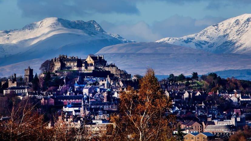
On November 18, 2025, a powerful Arctic blast originating from Siberia is forecast to sweep across the UK, bringing a significant drop in temperatures and the potential for hazardous winter weather. According to the Met Office, the next seven days will be 'markedly colder' than the previous week, with 'harsh frost' and sub-zero temperatures expected, particularly towards the end of the week.
The Met Office has issued multiple yellow weather warnings for snow and ice affecting parts of Scotland and northern England from November 14 to November 17. Forecasters predict that some areas could see up to 8 inches of snowfall on high ground, potentially leaving some communities 'cut off', while lower levels could receive up to 2 inches. The cold air from the Arctic is also expected to bring the risk of 'thundersnow' - a rare phenomenon where snow showers are accompanied by thunder and lightning.
Overnight temperatures are forecast to plummet to as low as -10°C in parts of Scotland and -6°C in northern England on Thursday night into Friday, making it the coldest night of the week. Daytime temperatures in the North East could barely rise above freezing, while London is only expected to reach a high of 5°C on Thursday. The Met Office has warned of 'difficult, slippery conditions' on Tuesday morning due to the wet weather and icy conditions.