Home / Weather / Thunderstorm Warning: 60 MPH Winds Threaten Upstate SC
Thunderstorm Warning: 60 MPH Winds Threaten Upstate SC
29 Jul
Summary
- Severe thunderstorm warning issued for Anderson, Oconee, and Pickens counties.
- Winds up to 60 mph and hail up to 0.75 inches are expected.
- Residents advised to seek shelter in an interior room on the lowest floor.
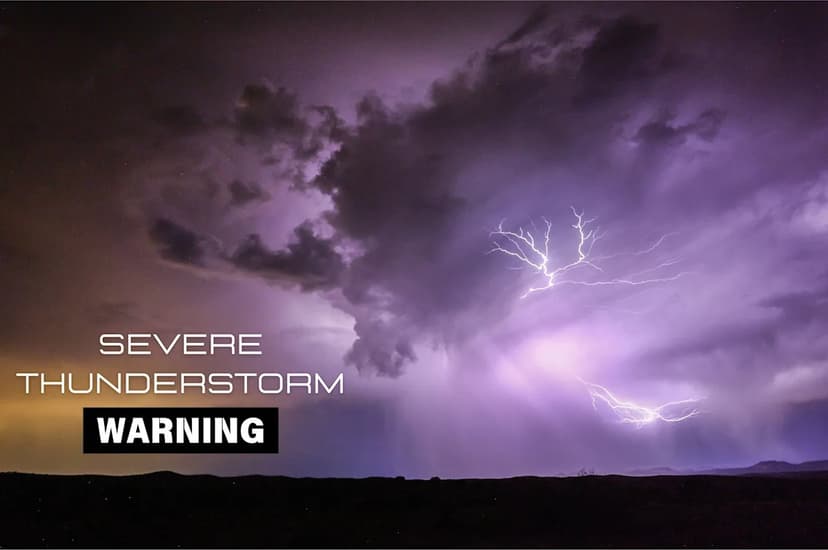
On Saturday, July 11th, the National Weather Service in Greenville-Spartanburg issued a severe thunderstorm warning for Anderson, Oconee, and Pickens counties in Upstate South Carolina. This warning was active until 12:45 p.m. EDT.
The storm, detected near Seneca and moving eastward at 40 mph, brought potential hazards including 60 mph wind gusts and hail approximately penny-sized. These conditions could lead to damage to trees and power lines.
Officials advised residents to take immediate safety precautions, such as moving to an interior room on the lowest floor of their home. The National Weather Service also provided contact information for reporting severe weather events like damaging winds or hail.
A severe thunderstorm warning signifies a storm with winds of 58 mph or higher or hail one inch in diameter or larger. Such storms can also produce heavy rain and lead to flooding. Safety guidance emphasizes that hearing thunder means being within lightning's striking distance, urging people to go indoors.


