Home / Weather / Severe Thunderstorm Warning Disrupts West Texas Tourists' Plans
Severe Thunderstorm Warning Disrupts West Texas Tourists' Plans
24 Oct
Summary
- Severe thunderstorm warning issued for Andrews and Frankel City, Texas
- Storm can produce hail up to quarter size and wind gusts up to 60 mph
- Tourists adjusting outdoor plans as warning remains in effect
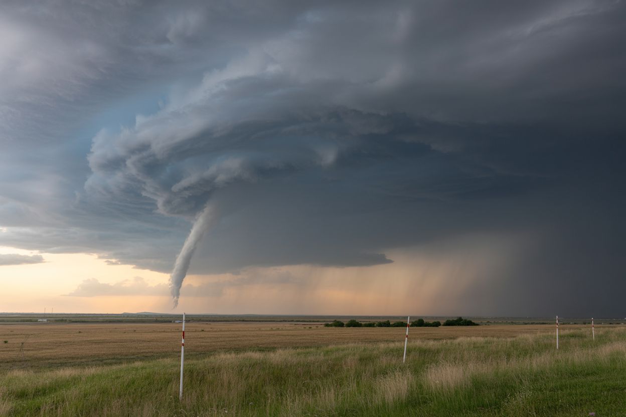
On October 23, 2025, the National Weather Service (NWS) Midland and Odessa forecast area issued a severe thunderstorm warning for the residents and visitors of Andrews and Frankel City, Texas. The warning was issued at 6:33 PM CDT and is set to continue until 7:30 PM CDT.
According to the NWS, the radar showed a storm nearly 15 miles southeast of Eunice, traveling east at a speed of about 25 mph. The system has the potential to produce hail close to the size of quarters and gusts near 60 mph, which could lead to significant damage to vehicles, roofs, and trees.
Tourists in the region found themselves suddenly adjusting their plans as the warning was issued, with some outdoor excursions now on hold while others rushed to seek indoor shelter. The warning covers northwestern Andrews County, western Texas, including the towns of Andrews and Frankel City.
Meteorologists at the NWS Midland and Odessa office have noted that a trough and associated upper-level low over the Great Basin is driving increased lift and moisture into the Permian Basin region, elevating the risk of scattered thunderstorms with large hail and strong winds as the primary threats.


