Home / Weather / Sahara Dust Cloud Reaches U.S. Shores
Sahara Dust Cloud Reaches U.S. Shores
7 Jul
Summary
- A large Saharan dust plume is traveling across the Atlantic.
- The dust is expected to cause hazy skies and vibrant sunsets.
- It can suppress hurricane development by creating dry air.
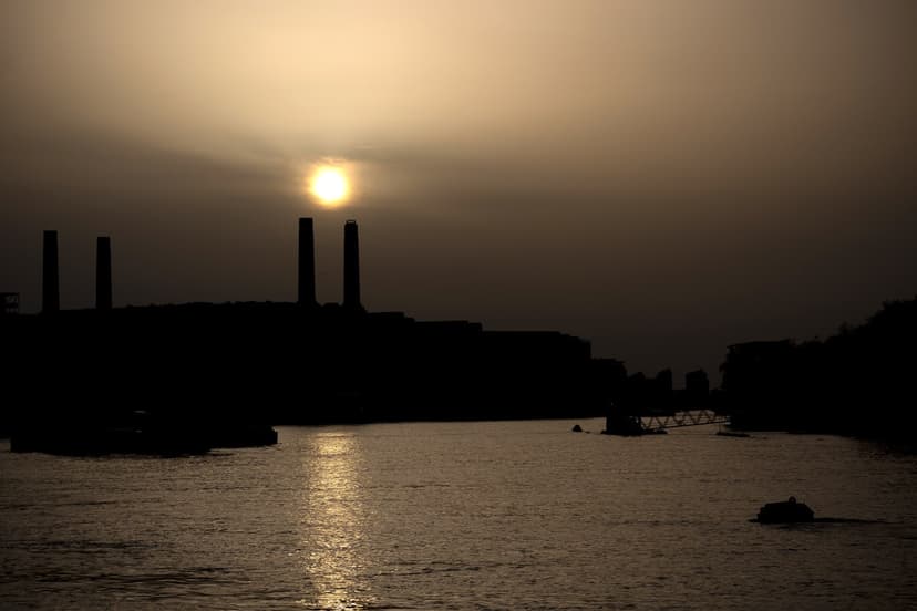
A vast plume of dust originating from the Sahara Desert is currently migrating across the Atlantic Ocean. This massive cloud is anticipated to reach parts of the southeastern United States in the coming days, leading to hazy atmospheric conditions and strikingly vivid sunsets.
The Saharan Air Layer, a common occurrence during the late spring and summer months, consists of hot, dry air laden with dust particles. These particles are lifted high into the atmosphere and carried thousands of miles by prevailing winds.
Forecasters note that this dust can influence regional weather patterns, notably by suppressing the formation and intensification of tropical cyclones. The dry and warm conditions associated with the dust layer create less favorable environments for storm development in the Atlantic basin.
While the dust is expected to weaken somewhat before reaching the U.S. mainland, it can still cause noticeable haze. Residents, particularly those with asthma, allergies, or other respiratory conditions, are advised to limit prolonged outdoor exposure. Health officials recommend reducing strenuous outdoor activities when dust concentrations are elevated, as it may lead to irritation or worsening symptoms.


