Home / Weather / Philly Braces for Snow Squalls & Deep Freeze
Philly Braces for Snow Squalls & Deep Freeze
6 Feb
Summary
- Light snow expected Friday night, with potential for dangerous travel.
- Snow squalls with white-out conditions and icy roads are possible.
- Extreme cold and high winds forecast from Saturday through Monday.
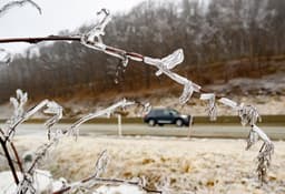
Light snow is expected to begin Friday evening and continue into the overnight hours across southeastern Pennsylvania and parts of New Jersey, according to the National Weather Service. While amounts are predicted to be less than an inch in most affected counties, the potential for snow squalls early Saturday morning raises concerns for dangerous travel. These quick-hitting storms can produce white-out conditions and icy roads due to rapidly dropping temperatures.
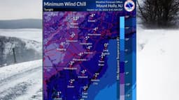
Following the light snow, an arctic front will usher in a significant cold snap. An extreme cold watch has been issued by the NWS, running from Saturday afternoon through Sunday morning. Residents can expect high winds, with gusts potentially reaching 40 to 60 mph. Sustained winds are forecast between 20 and 35 mph. This combination of wind and frigid temperatures could lead to dangerous wind chills, as low as -25 degrees in northern areas, lasting at least through Monday morning.
