Home / Weather / Ontario Braces for 'Weather Bomb' Storm
Ontario Braces for 'Weather Bomb' Storm
28 Dec, 2025
Summary
- A 'weather bomb' storm is approaching the Great Lakes with potential for blizzards.
- Eastern Ontario could face 8-15+ hours of freezing rain and significant ice.
- Southern Ontario may experience heavy rains leading to flooding and flash freezes.
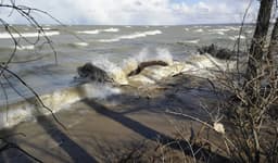
A dynamic 'weather bomb' system, developing from a Colorado low, is set to impact Ontario starting Sunday, December 29th. This rapidly intensifying storm carries the threat of severe weather across much of the province, potentially meeting 'weather bomb' criteria as it nears the Great Lakes. Residents should prepare for hazardous conditions including blizzards, ice storms, and flooding rains.
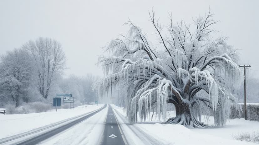
Eastern Ontario, including Ottawa, is expected to endure an ice storm beginning Sunday, potentially lasting over 15 hours and accumulating 5-15 mm of ice. This, combined with strong winds, heightens the risk of power outages. Northeastern Ontario faces blizzard conditions with heavy snow, up to 50 cm in the Timmins area, causing dangerous travel and highway closures. Meanwhile, southern Ontario could see over 50 mm of rain, exacerbated by frozen ground, increasing flood risks and ice jam potential.