Home / Weather / Oklahoma Braces for Severe Storms and Chilly Weekend
Oklahoma Braces for Severe Storms and Chilly Weekend
18 Apr
Summary
- Oklahoma faces thunderstorms capable of producing hail, damaging winds, and tornadoes on Friday.
- Severe storms are most likely to form in northern Oklahoma after 3 p.m. Friday.
- A cold snap will follow the storms, bringing overnight lows into the 30s by Sunday morning.
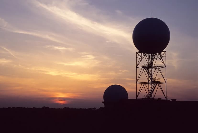
Oklahoma is preparing for a day of severe weather on Friday, April 17, as thunderstorms are predicted to develop. These storms carry the potential for producing hail, damaging winds, and tornadoes. Meteorologists indicate that the most favorable conditions for storm formation will be in northern Oklahoma, beginning after 3 p.m., with a possibility of reaching central areas like Oklahoma City between 9 p.m. and 2 a.m.
While the overall tornado threat for Oklahoma is considered low, the potential for strong tornadoes exists if convective storms can form south of Interstate 40. The weather system will also bring a significant change over the weekend. A cold front will usher in cooler air, accompanied by northerly winds of 20-30 mph, with gusts up to 50 mph in western Oklahoma. High temperatures will likely be in the 60s, but overnight lows, particularly by Sunday morning, are expected to plummet into the 30s, raising concerns about potential frost alerts.
Additionally, western and northwestern Oklahoma will continue to face an elevated risk of wildfires through the weekend due to low humidity and high winds, even though a red flag warning is set to expire. Residents are advised to stay weather-aware and have reliable methods for receiving storm alerts.