Home / Weather / Mid-Atlantic Braces for Second Snow Dump
Mid-Atlantic Braces for Second Snow Dump
5 Feb
Summary
- Winter storm watches cover West Virginia, Maryland, and Pennsylvania.
- Heavy snow accumulations of 4 to 7 inches are possible in West Virginia.
- Whiteout conditions and power outages are potential hazards in affected areas.
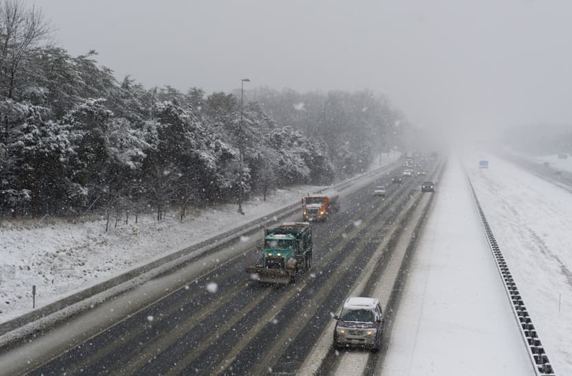
Winter storm watches have been issued by the National Weather Service for West Virginia, western Maryland, and Pennsylvania, signaling the potential for significant winter weather. This alert comes after a recent powerful storm system delivered heavy snowfall to the Eastern Seaboard. While this new system is not expected to be as intense, forecasters are still warning of considerable snowfall and hazardous conditions.
In West Virginia, the Charleston NWS office anticipates 4 to 7 inches of snow, accompanied by gusty winds up to 50 mph, which could impair visibility and create dangerous driving situations. A winter storm watch is in effect from Friday morning through Saturday morning for portions of northeast, northern, and southeast West Virginia. Travelers are warned of slippery roads, particularly impacting the Friday evening commute.