Home / Weather / Heatwave Lingers, Severe Storms Loom for Maryland
Heatwave Lingers, Severe Storms Loom for Maryland
2 Sep
Summary
- Heat index values will reach the lower 90s Wednesday.
- Severe storms with damaging winds and hail threaten Wednesday night.
- Labor Day Weekend promises spectacular weather with lower humidity.
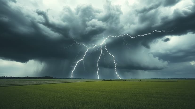
Heat and humidity are persisting into September across Maryland, with heat index values expected to reach the lower 90s on Wednesday, although temperatures will be slightly less intense than the previous day. A significant concern arises Wednesday evening and overnight as severe thunderstorms are forecast to develop, posing threats of damaging winds, hail, and intense lightning, primarily affecting northern, central, and northeastern parts of the state.
Thursday has been designated a First Alert Weather Day due to the anticipated extreme heat and humidity, with feels-like temperatures possibly exceeding 100 degrees. This day also carries a substantial risk of severe thunderstorms capable of producing damaging winds, flash flooding, hail, and isolated tornadoes, with multiple storm clusters possible. Friday is considered a transition day with a reduced, but not eliminated, risk of severe weather.
However, a strong cold front arriving late Friday is set to bring a significant change. Labor Day Weekend is predicted to be outstanding, beginning with a spectacular Saturday featuring sunshine and highs in the low to mid-80s, thanks to lower humidity and comfortable north to northeasterly winds. Sunday and Labor Day itself are also expected to be pleasant, with highs near the low 80s and 80 degrees, respectively, offering a stunning conclusion to the summer season.


