Home / Weather / Indiana Heat Wave to Hit 105°F, Storms Follow
Indiana Heat Wave to Hit 105°F, Storms Follow
11 Jun
Summary
- Heat index may climb above 100 degrees with temperatures in the upper 80s.
- Central Indiana faces hazardous weather with potential for severe thunderstorms.
- Forecast includes strong winds, localized flooding, and lightning threats.
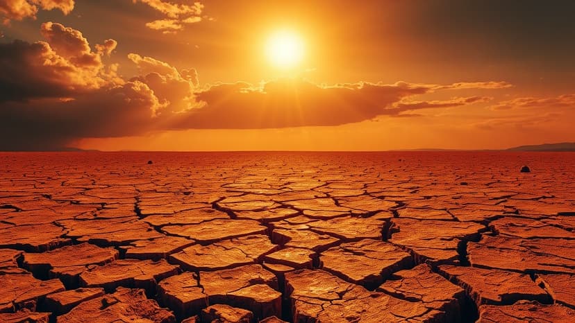
Central Indiana is anticipating a dangerous heat event on Thursday, June 11, 2026. The National Weather Service in Indianapolis has warned that the combination of high temperatures, potentially reaching the low 90s, and elevated humidity could push the heat index to between 100 and 105 degrees Fahrenheit. Hoosiers are urged to take precautions, including reducing time spent outdoors and ensuring adequate fluid intake.
The region is also under a hazardous weather outlook for Thursday and Thursday night. The National Weather Service forecasts a chance of thunderstorms, which could bring hazards such as strong gusty winds, localized flooding, and cloud-to-ground lightning. The Indianapolis area, in particular, faces a slight risk for severe thunderstorms, with potential for damaging winds, large hail, isolated tornadoes, and heavy rainfall leading to flooding.
The forecast for the upcoming days shows a gradual cooling trend. Friday is expected to be sunny with highs near 81 degrees. Saturday will be sunny with a high near 85, but isolated thunderstorms are possible in the evening. Sunday may bring showers and thunderstorms, with a high near 78. The week continues with mostly sunny conditions and highs in the high 70s, with a continued slight chance of showers on Tuesday and Wednesday.