Home / Weather / UN Warns of 'Off the Charts' El Nino
UN Warns of 'Off the Charts' El Nino
18 Nov
Summary
- El Nino phenomenon escalating, described as 'off the charts'.
- UK faces potential cold snaps and extreme weather events.
- Weakening polar vortex linked to unusual stratospheric warming.
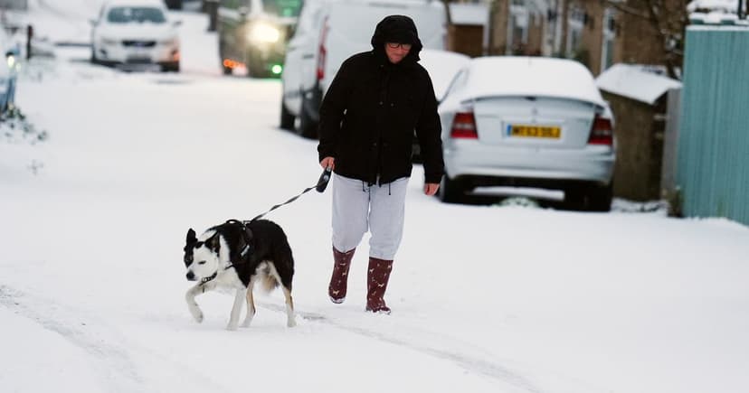
The United Nations has described the current El Nino as 'off the charts,' signaling a heightened risk of extreme weather events worldwide. Forecasters indicate that the UK could experience significant cold snaps, potentially leading to snow, flooding, and disruptions from high winds.
This situation is being closely monitored due to an unexpected weakening of the polar vortex observed recently. Meteorologists are exploring a possible connection between this unusual disruption and the ongoing El Nino, as such events can increase the likelihood of colder weather patterns in the UK.
A Sudden Stratospheric Warming (SSW) event, where warm air disrupts the upper atmosphere's wind rings, is suspected. Historically, SSWs have preceded events like the 2018 'Beast from the East.' However, experts caution that the impact of SSWs is not guaranteed and can be influenced by other atmospheric patterns and climate change, which may be diminishing the intensity of cold spells.
The Met Office is tracking the polar vortex changes but noted it was returning to normal as of late November 2026 and not anticipating significant disruption. El Nino's impact on the jet stream could propagate upwards, disturbing the polar stratosphere and potentially displacing the polar vortex, but a direct effect on the UK remains uncertain.


