Home / Weather / Historic El Nino Could Unleash Unprecedented East Coast Snowfall
Historic El Nino Could Unleash Unprecedented East Coast Snowfall
15 Sep
Summary
- El Nino's predicted strength suggests potential for record-breaking storms.
- A shifted jet stream may bring unusual snowfall to East Coast regions.
- There is a 69% chance of a historic El Nino event exceeding past records.
An exceptionally strong El Nino event is projected to persist through February 2027, with a near 100% likelihood according to the World Meteorological Organization.
This historic El Nino has a 69% chance of surpassing the strength of previous events dating back to 1950, according to NOAA data. The strengthening El Nino also carries a greater than 90% chance of becoming a very strong event throughout the Northern Hemisphere's fall and winter of 2026-27.
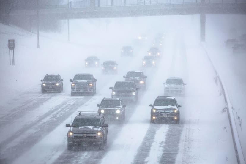
AccuWeather long-range expert Paul Pastelok suggests that the East Coast could experience "blockbuster" storms with above-normal snowfall. This scenario arises from a potential shift in the jet stream, guiding storm tracks up the East Coast rather than their typical southeastern path.
In a Super El Nino, Pacific equatorial waters are more than two degrees Celsius warmer than average. This influences the Pacific jet stream, typically causing drier and warmer conditions in the northern U.S. and Canada, while the U.S. Gulf Coast and Southeast face wetter conditions and increased flooding risks.
Some regions may begin experiencing snowfall as early as September, particularly at higher elevations, due to the anticipated intensity of this El Nino event.


