Home / Weather / Drones Map Typhoon's Eye for Better Forecasts
Drones Map Typhoon's Eye for Better Forecasts
28 Jul
Summary
- Drone swarm observed Typhoon Noul's landfall in Guangdong.
- Experiment gathered crucial low-altitude atmospheric data.
- Data aims to improve typhoon intensity and impact forecasts.
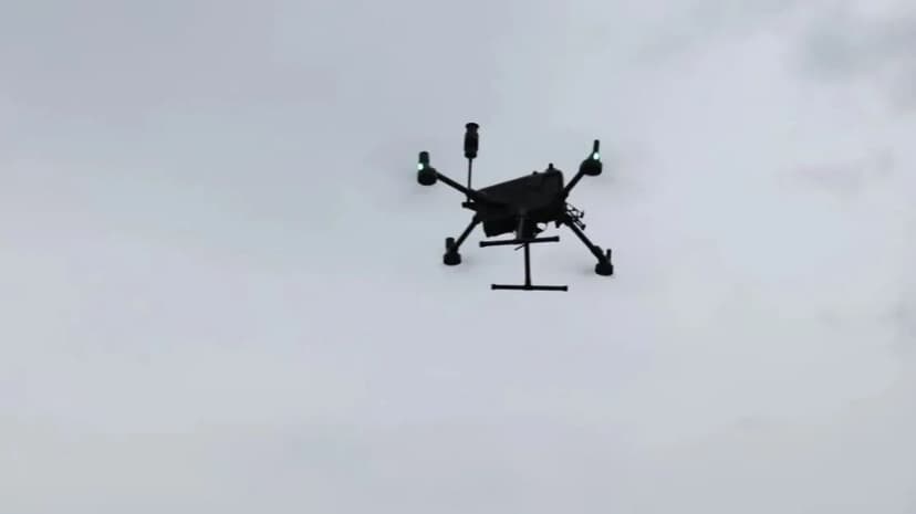
Meteorologists in Guangdong province, China, recently utilized a drone swarm to conduct an unprecedented observation experiment during the landfall of Typhoon Noul. This initiative, led by the Chinese Academy of Meteorological Sciences, sought to overcome existing challenges in gathering low-altitude atmospheric data beneath coastal typhoon clouds.
The experiment involved continuous monitoring throughout the typhoon's passage, providing vital vertical profile data on temperature, humidity, wind fields, and turbulence. This high-frequency, three-dimensional detection mode addresses significant gaps in coastal low-altitude observation.
The collected data is expected to significantly improve the accuracy of typhoon intensity forecasts and predictions of wind and rainfall impact zones. The initiative also explored the conditions for safe drone operation in extreme weather, vital for expanding low-altitude economy sectors.
Furthermore, the study aims to reveal how storm environments affect drone flight attitudes and energy consumption, providing essential data for advancing typhoon monitoring, forecasting technologies, and ensuring the safety of low-altitude flights.


