Home / Weather / Arctic Blast to Unleash Deep Freeze on DC Area
Arctic Blast to Unleash Deep Freeze on DC Area
18 Jan
Summary
- Morning snow and rain mix to transition to snow across the region.
- An arctic front will bring the coldest air of the season Monday night.
- Frigid temperatures with wind chills near zero are expected Tuesday.

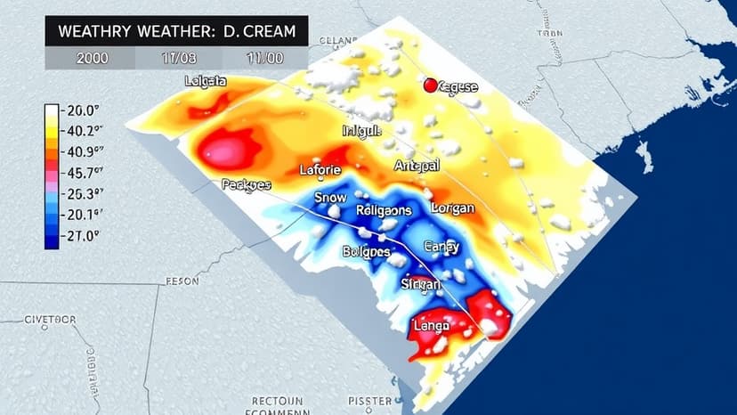
The Washington D.C. metropolitan area is preparing for a dramatic change in weather conditions. Currently experiencing a morning mix of rain and snow, precipitation is expected to transition to mostly snow from northwest to southeast before tapering off by this afternoon. While accumulation is anticipated to be light, mainly on grassy areas east of D.C. and I-95, slick spots may develop on roads and sidewalks north and west of the Beltway where temperatures hover near freezing.
Looking ahead, an arctic front is poised to sweep through the region, ushering in the coldest air mass of the season. Beginning Monday night and persisting through Wednesday morning, dangerously cold temperatures are forecast, with lows potentially reaching the single digits. Wind chills on Tuesday are expected to drop to near zero, prompting warnings for residents to limit outdoor exposure and cover exposed skin.
The brutal cold is anticipated to ease by Wednesday and Thursday, with highs returning to the upper 30s to low 40s. Despite the eventual moderation, the immediate forecast emphasizes a need for vigilance against the upcoming frigid conditions, including potential impacts on daily routines and outdoor activities.


