Home / Weather / Arctic Blast To Hit DC: Record Cold Ahead
Arctic Blast To Hit DC: Record Cold Ahead
30 Jan
Summary
- Arctic air surge brings frigid weather to DC area this weekend.
- Wind chills expected below zero Saturday night and Sunday.
- Cold spell marks harshest stretch of winter, with no rapid thaw.
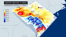
The Washington D.C. area is set to experience its most severe cold of the winter this weekend, with a powerful surge of Arctic air arriving Saturday. High temperatures may struggle to reach the teens, significantly below the normal average of 45 degrees. This cold snap is expected to be the harshest of the season, potentially setting new records for the coldest January 31st high temperature, which was previously 22 degrees in 1936.
Conditions will deteriorate Saturday night as a coastal storm intensifies offshore. The most extreme cold, with wind chills possibly dropping to minus-10, is anticipated from late Saturday night into Sunday. Strong northwest winds gusting up to 40 mph are forecast for Sunday, keeping wind chills in the single digits even in the afternoon. This prolonged period of freezing temperatures, with highs not surpassing freezing for potentially ten consecutive days, is among the longest streaks recorded since 1872.
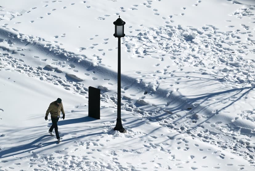
The accumulated snow and ice, described by some as "snowcrete," will persist due to the unrelenting cold. While some surface melting may occur on sunnier days next week, nightly refreezing is expected. The dense, compacted precipitation, equivalent to a 20-inch snowstorm, could remain in place well into February, with larger piles potentially lingering into March.