Home / Weather / Cincinnati Drenched: More Storms to Hit
Cincinnati Drenched: More Storms to Hit
12 Aug
Summary
- Additional thunderstorms are forecast for Wednesday across the region.
- Rainfall totals of 4 to 6 inches are possible in isolated areas.
- A flood watch remains in effect through Wednesday evening.
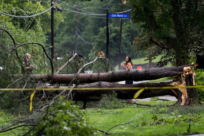
Greater Cincinnati and Northern Kentucky are facing continued weather disturbances following recent damaging storms. The National Weather Service in Wilmington has issued forecasts for additional thunderstorms expected throughout Wednesday, August 12. A flood watch will be in effect through the evening, urging caution near flooded roads and low-lying areas.
Isolated areas could experience rainfall totals ranging from 4 to 6 inches, particularly in locations experiencing multiple rounds of storms. This unsettled weather pattern is anticipated to persist through Friday, with intermittent chances for showers and thunderstorms, though periods of dry weather are expected.
As of Tuesday, Cincinnati had recorded just over half an inch of rain, bringing the August total to 2.44 inches, significantly above the normal 1.32 inches for this period. The forecast for Wednesday includes a high near 88 degrees with a 90% chance of precipitation, potentially bringing 1 to 2 inches of new rainfall.
Looking ahead, Thursday and Friday will also see chances for showers and thunderstorms, with highs remaining near 88 degrees. The weekend is predicted to be mostly sunny and warmer, with highs near 90 on Saturday and approaching 93 on Sunday, before a chance of thunderstorms returns Sunday night.


