Home / Weather / Chicago Winter: El Niño Signals Warmer Temps, Less Snow
Chicago Winter: El Niño Signals Warmer Temps, Less Snow
15 Oct
Summary
- El Niño is expected to significantly influence Chicago's winter weather.
- Above-average temperatures are favored for Chicago this winter.
- Below-average snowfall is historically favored during strong El Niño events.
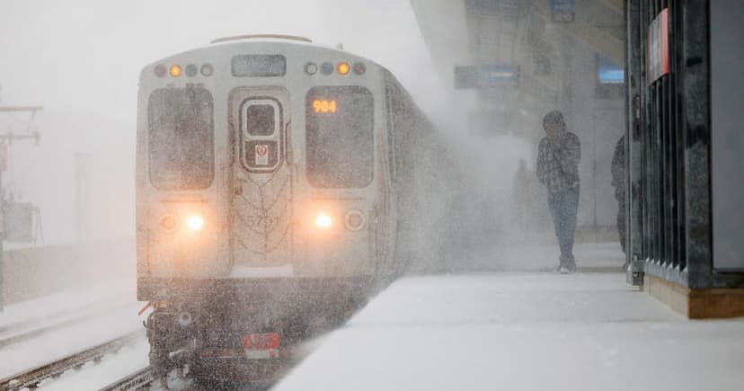
As fall progresses, a clearer winter outlook is emerging for Chicago and the Great Lakes region. NOAA's official forecast, released on October 15, 2026, continues to favor above-average temperatures for Chicago. A robust El Niño event is anticipated to heavily influence upcoming weather patterns. Meteorological winter, from December to February, is expected to see warmer-than-average conditions across the Great Lakes.
The precipitation forecast remains less certain, with the National Weather Service in Chicago anticipating roughly average precipitation. However, this does not necessarily translate to average snowfall. Historical data from strong El Niño events since 1950 indicates a trend towards below-average seasonal snowfall in the Chicago area.
El Niño, characterized by warmer sea surface temperatures in the Pacific Ocean, can alter global weather. For Chicago, these winters often feature a southerly shifted jet stream, potentially reducing storm frequency and promoting milder conditions. With a generally warmer pattern, some precipitation might fall as rain or a wintry mix instead of snow.
Despite the strong El Niño signal, a warm or snowless winter is not guaranteed. Chicago typically receives about 38 inches of snow annually, with January being the coldest and snowiest month. Even with a mild outlook, Chicago winters can still experience periods of severe cold and significant snow events.


