Home / Technology / Russia's Drone Future Takes Flight
Russia's Drone Future Takes Flight
23 Apr
Summary
- Partnership focuses on ground-based communication for drone flights.
- Drones will monitor forest fires and inventory resources.
- UAVs will enhance aerial photography and surveying accuracy.
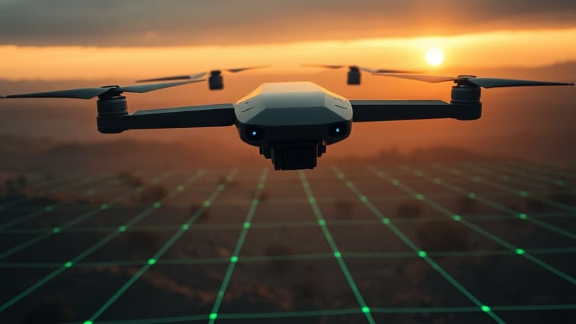
A significant partnership has been forged between Geoscan and UAS Infrastructure Operator to accelerate the development and deployment of unmanned aerial technologies across Russia. This collaboration, formalized at the Geoscan Technologies 2026 conference, centers on creating robust ground-based communication systems essential for scaling drone operations.
The initiative will specifically target the forestry sector, aiming to enhance capabilities for monitoring forest fires and conducting inventory work. These advancements are expected to significantly improve response times and the overall management of forest resources.
Furthermore, the partnership intends to expand the use of unmanned aerial vehicles for aerial photography and surveying. This will lay the groundwork for more precise and timely acquisition of geospatial data, benefiting various industries.
Geoscan CEO Alexey Yuretsky highlighted that the drone market is entering a crucial scaling phase, where infrastructure is as vital as the technology itself. He emphasized that this collaboration will enable the creation of comprehensive solutions, from flight support to data processing, thereby expediting the integration of drones into the Russian economy.