Home / Technology / Drone Maps Earth's Interior with New Seismic Tech
Drone Maps Earth's Interior with New Seismic Tech
2 Dec
Summary
- A new UAV prototype integrates seismic sensors for geological surveys.
- The drone offers tighter soil contact and reliable seismic data.
- This innovation aims to survey remote and harsh environments.
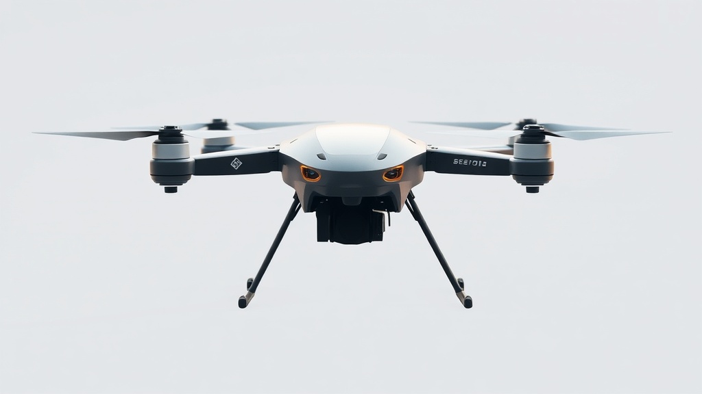
A pioneering unmanned aerial vehicle (UAV) prototype featuring built-in seismic sensors and a ground-penetrating system has been developed by Russian scientists. This advanced design significantly improves contact with the ground and ensures the reliable registration of seismic data. This innovation aims to revolutionize geological assessment by enabling surveys in remote and difficult-to-access locations, a task currently reliant on cumbersome wired systems.
The new system offers a streamlined approach to seismic exploration, eliminating the need for extensive personnel and logistical challenges associated with traditional methods. The prototype has already undergone successful field testing in the Leningrad Region. Future applications are envisioned for even more demanding environments, such as the harsh conditions found in the Arctic, including surveys conducted on ice-covered areas.
Supported by a grant from the Russian Science Foundation, the project also yielded unique methods for seismic data processing and the development of specialized sensor prototypes. Researchers have created substantial data reserves to train neural models for territory classification and optimizing sensor placement on the UAV, paving the way for highly autonomous geological surveys.