Home / Science / NISAR Satellite Captures Stunning Antarctic Ice Art
NISAR Satellite Captures Stunning Antarctic Ice Art
23 Jul
Summary
- NISAR satellite data revealed a striking image of East Antarctica's ice.
- The L-band radar captured detailed ice movement and surface features.
- Colors in the image represent different radar signal interactions with ice.
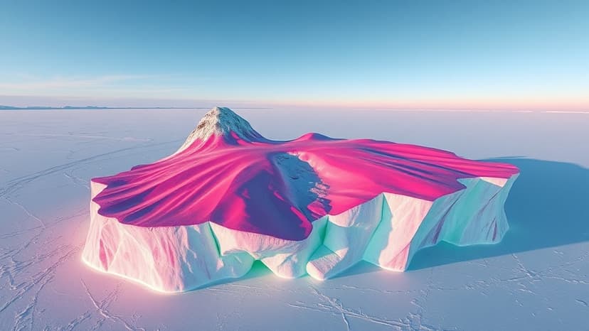
A joint India-US Earth observation satellite, NISAR, has released stunning radar data depicting East Antarctica's icy terrain. The image, created using L-band radar measurements from August 2025, highlights Nunatak Zaterjavshijsja, a mountaintop, and shows the dynamic movement of glaciers around it. This advanced radar technology provides unprecedented views of subsurface ice features, revealing deep crevasses as sharp green lines and smoother ice surfaces as magenta. The satellite's ability to penetrate snow and ice allows scientists to observe features not visible in optical imagery, offering crucial insights into ice dynamics and the Antarctic environment.
Disclaimer: This story has been auto-aggregated and auto-summarised by a computer program. This story has not been edited or created by the Feedzop team.


