Home / Science / Arctic Waters: New Tech to Map Waves Up Close
Arctic Waters: New Tech to Map Waves Up Close
13 Feb
Summary
- New high-resolution wave and current measurements planned for polar seas.
- Expedition will study coastal ecosystems under climate change and pressure.
- New departure/arrival port in Murmansk offers logistical advantages.
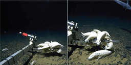
The Arctic Floating University's 2026 expedition will introduce novel, high-resolution measurements of polar sea waves and currents. This initiative aims to fill critical data gaps, particularly in ice-proximate waters, enhancing our understanding of these dynamic environments. Measurements will utilize buoys, drone-based filming, and stereo capture.
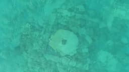
The expedition's core mission is to study the coastal ecosystems of the Barents and Kara Seas, examining the effects of Arctic climate change and increasing human impact. Research will also track the distribution of warm Atlantic waters entering the Arctic. Fieldwork includes shore-based studies on the Novaya Zemlya and Franz Josef Land archipelagos, focusing on heavy metals, pollutants, radionuclides, and marine debris like plastics.
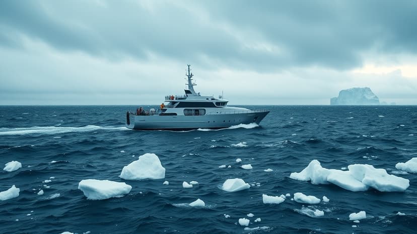
Further research will explore the biodiversity of diptera insects, updating nearly decade-old data. For the first time, the expedition will depart from and return to Murmansk, rather than its traditional base in Arkhangelsk. This change offers closer access to the research areas, streamlining logistics for the Professor Molchanov vessel and its scientific team, who have been conducting expeditions since 2012.