Home / Science / Archaeologists Uncover 2,000-Year-Old Roman Settlement in Gloucestershire
Archaeologists Uncover 2,000-Year-Old Roman Settlement in Gloucestershire
10 Nov, 2025
Summary
- Amateur metal detectorist's discovery of Roman cavalry swords leads to unearthing of ancient settlement
- New digital atlas maps over 300,000 km of Roman roads, expanding known network by 100,000 km
- Researchers use satellite imagery and aerial photography to trace lost Roman roads

On November 10, 2025, archaeologists in Gloucestershire, England announced the discovery of a 2,000-year-old Roman settlement, uncovered after an amateur metal detectorist found Roman cavalry swords in the area. The excavation revealed the remains of a villa and other buildings, providing a rare glimpse into the ancient Roman presence in the region.
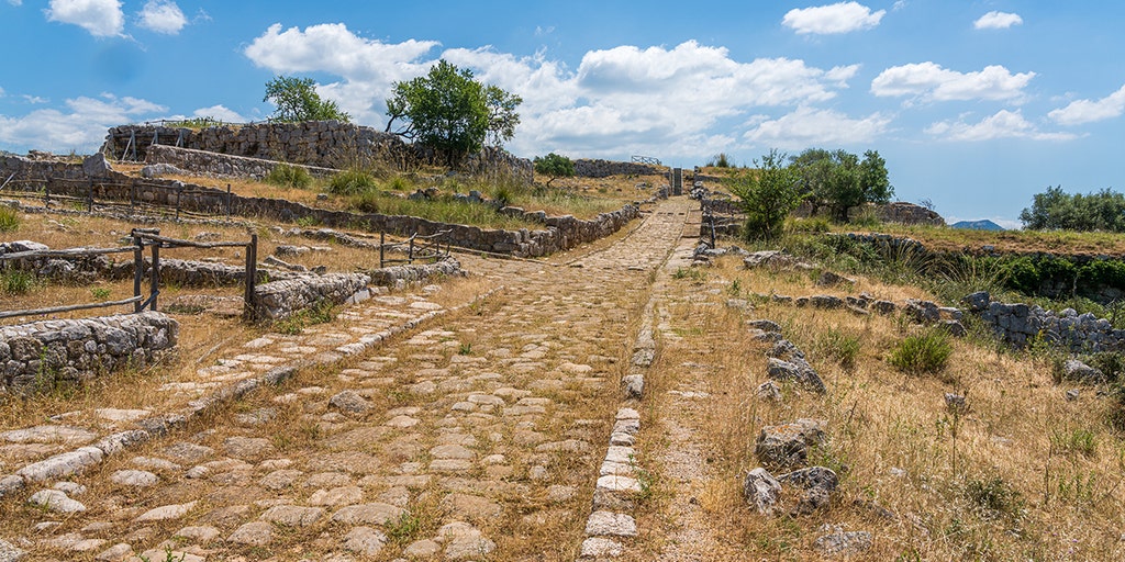
Separately, a team of researchers has published a groundbreaking digital atlas that maps nearly 300,000 kilometers (186,000 miles) of Roman roadways across Europe, North Africa, and the Middle East. This new atlas, called Itiner-e, expands the previously known network of Roman roads by over 100,000 kilometers, offering a more comprehensive understanding of the ancient empire's transportation infrastructure. The researchers used a combination of historical records, satellite imagery, and aerial photography to trace the routes of these long-lost roads.


