Home / Environment / Washington Thunderstorms Threaten New Fire Starts
Washington Thunderstorms Threaten New Fire Starts
21 Aug
Summary
- Thunderstorms forecast for Washington pose high risk of new fire starts.
- Air quality has improved west of the Cascades, but remains poor east.
- Storms may bring debris flows and flash flooding to burn scar areas.
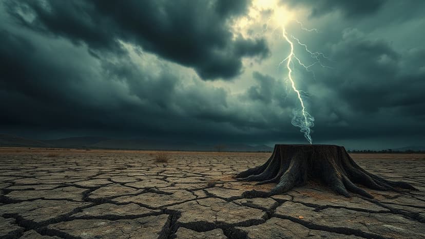
Thunderstorms are predicted to sweep across Washington starting late Friday night and continuing through Saturday, bringing a significant risk of new fire ignitions. This forecast has led to Saturday being designated a Pinpoint Alert Day due to the danger of lightning strikes and potential new fires, particularly impacting outdoor activities.
Conversely, air quality has seen marked improvement west of the Cascades, with clearer skies observed on Thursday. While some wildfire smoke may drift in from Oregon, air quality west of the mountains is expected to remain good to moderate. However, an Air Quality Alert persists for Douglas, Chelan, and Okanogan Counties east of the Cascades, where smoke from the Little Giant Fire and other sources continues to be a problem.
Gusty winds accompanying Saturday's thunderstorms could spread smoke further into central and eastern Washington. Despite the forecast for storms, significant rainfall is not anticipated. Caution is advised in and near burn scars, as even minor rainfall on these areas can trigger debris flows and flash flooding.


