Home / Environment / UK Braces for Thunderstorms After Flooding
UK Braces for Thunderstorms After Flooding
27 Aug
Summary
- Yellow thunderstorm warnings issued for Thursday across Wales and England.
- Birmingham experienced significant flooding due to swollen river levels.
- Potential for 50-75mm rainfall, lightning, and hail despite warm conditions.
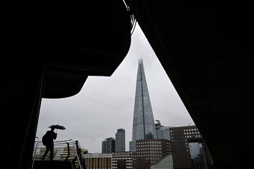
Parts of the West Midlands are recovering from flooding, while Wales and large areas of England are under thunderstorm warnings for Thursday. Emergency services reported significant flooding in Birmingham on Wednesday night, particularly in the Perry Barr district, caused by rising river levels. Crews attended incidents on Curbar Road, Thornbridge Avenue, and Haddon Road, with authorities urging the public to avoid floodwater.
The Met Office has issued two yellow thunderstorm warnings for Thursday. One covers London and the South East until 8am, and the second encompasses Wales and much of England from 5am to 10pm. These warnings highlight the possibility of 50-75mm of rainfall, accompanied by lightning and hail, potentially causing disruption despite daytime temperatures reaching highs of 27-28C.
The unsettled weather pattern is predicted to persist throughout the bank holiday weekend. While there will be sunny spells, heavy rain and thunderstorms are expected across the UK on Friday, followed by further rain on Saturday. Sunday and Monday are forecast to bring a mix of sunshine and showers. Temperatures are expected to cool down closer to seasonal averages, dropping to 24-25C on Friday and 22-23C over the weekend.


