Home / Environment / UK Weather: Chilly End to August, Warm September Ahead
UK Weather: Chilly End to August, Warm September Ahead
17 Aug
Summary
- UK faces a cold snap at the end of August.
- Temperatures could drop as low as 4C in Scotland.
- A heatwave is predicted to return at the start of September.
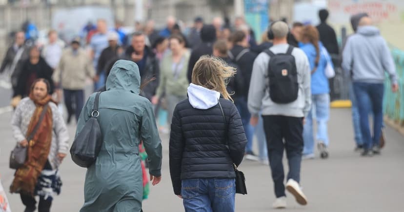
Following recent record-breaking highs, the UK is bracing for a noticeable shift in weather. Temperatures are forecast to plummet towards the end of August, marking a stark contrast to the current warmth. Weather maps indicate that by Saturday, August 29, cooler conditions will begin to affect much of the nation, especially the north. Areas in North West England and Scotland could see temperatures as low as 6C or 7C in the early hours, with parts of southern Scotland possibly dropping to 5C. Even the South West of England may experience mornings below 10C.
While temperatures are expected to rise slightly by midday, they will remain significantly cooler than recent averages, with the South East of England reaching around 15C by evening. Sunday is predicted to continue this cooler trend, with morning temperatures in the Midlands around 8C to 9C and in northern Scotland as low as 4C. However, afternoons may see a temporary warm-up, with highs of 20C in Sussex, though conditions are expected to cool again by evening. This crisp weather pattern is anticipated to persist into the following week, with daytime highs in the South potentially reaching only 10C.
The Met Office's long-range forecast, covering up to September 12, suggests that temperatures are likely to remain above average overall for the start of September. Despite this, there is acknowledged uncertainty regarding the precise weather patterns that will develop. Forecasters also noted the possibility of periods of widespread rain and strong winds, along with potential thunderstorms, occurring before the anticipated warmer spell.


