Home / Environment / Texas Drenched: Rare High-Risk Flood Alert Issued
Texas Drenched: Rare High-Risk Flood Alert Issued
15 Jul
Summary
- Rare high-risk alert for excessive rain issued in parts of Texas.
- Up to 20 additional inches of rain possible in hardest-hit areas.
- Emergency services, including the National Guard, are on standby.
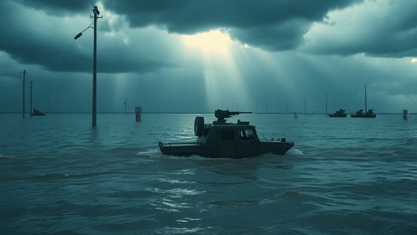
The National Weather Service has issued a rare high-risk alert for excessive rain in Texas, signaling a significant threat of dangerous flash flooding. This alert comes as days of continuous downpours have saturated the ground, particularly in southwestern parts of the state.
Forecasters are concerned about an additional 10 to 20 inches of rain falling in areas that have already experienced between six inches and a foot of precipitation. This has led to widespread flooded roadways and prompted numerous water rescues across Medina, Uvalde, and Bandera Counties.
Governor Greg Abbott has mobilized emergency services, including the National Guard and its helicopters, to aid in response efforts. The risk of significant flash flooding is expected to persist between the Hill Country and the Rio Grande, with some areas potentially facing catastrophic conditions.
While the most severe threat is in West Texas, parts of Louisiana and major Texas cities like San Antonio, Austin, and Houston are also at risk for flooding. Historically, areas designated with this high-risk alert have experienced some of the deadliest floods.
The Weather Prediction Center noted that this weather pattern could yield surprises due to high atmospheric moisture extending into Louisiana. Flood watches cover a third of Texas and are expected to remain in effect through Thursday, with flash flood warnings indicating imminent or ongoing flooding.
This intense rainfall follows a devastating flood event just over a year ago, which claimed over 130 lives in Central Texas. By Thursday, the chances of flooding are predicted to decrease, leading to drier conditions over the weekend.


