Home / Environment / Somerset's Wettest January Since 2014: Flooding Fears Rise
Somerset's Wettest January Since 2014: Flooding Fears Rise
4 Feb
Summary
- Somerset experienced its wettest January since the 2014 floods.
- A planning inspector approved new homes on a Somerset flood plain.
- Environmentalists advocate for ending farming on the Somerset Levels.
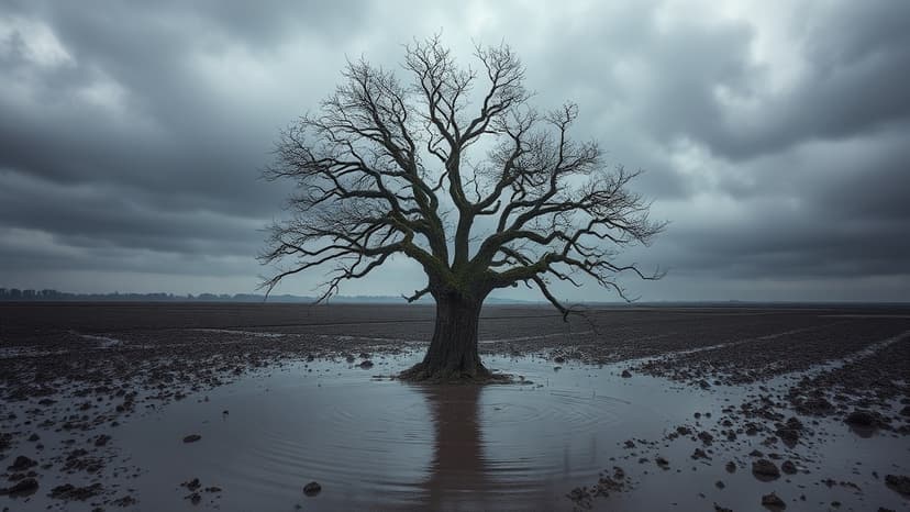
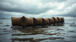
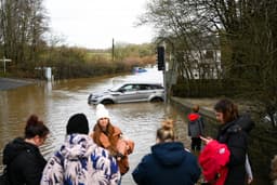
Somerset experienced its wettest January since the significant floods of 2014, prompting council officials to declare a "major incident" due to the rapid rise of water levels. This event has reignited discussions about climate change's impact on extreme weather, with meteorologists noting that warmer air carries more moisture, leading to heavier rainfall. The region's climate has demonstrably shifted, with a higher average rainfall observed in recent decades, particularly during winter months.
A critical High Court case is currently underway in North Somerset concerning a planning inspector's decision to approve 190 new homes on Yatton Batch, land designated as "flood zone 3a." Local councillors strongly oppose this decision, arguing that building on flood plains is indefensible as climate change intensifies rainfall. They fear this ruling could set a national precedent, increasing risks for residents and creating financial uncertainty.
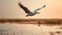
Furthermore, there is a growing debate about the future of farming on the Somerset Levels, a vast wetland area. Environmentalists advocate for an end to traditional farming practices on this land, which frequently floods. They propose transforming these areas into natural wetlands, highlighting their significant biodiversity and ecological value. The economic implications for farming families and potential compensation for relocating are key concerns in this ongoing discussion.