Home / Environment / Singapore braces for rising seas: massive coastal study launched
Singapore braces for rising seas: massive coastal study launched
27 Apr
Summary
- Singapore begins a major coastal study in late 2026 to protect its industrial south-west.
- The 116km study aims to develop solutions against sea-level rise and potential flooding.
- A consultant will determine if large-scale barriers or localized measures are best.
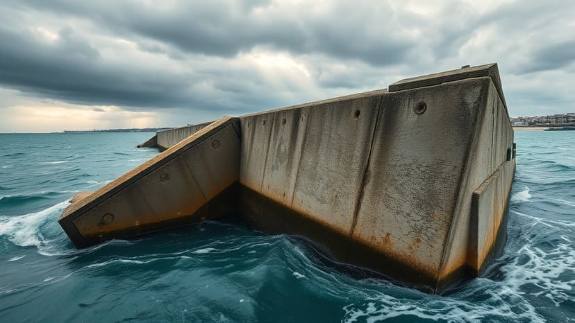
Singapore is initiating a comprehensive study by late 2026 to bolster the coastal defenses of its industrially vital south-west region against escalating sea levels. This extensive project, managed by national water agency PUB, will cover a 116km stretch from Tuas to Pasir Panjang and is slated to take six years to identify effective solutions for preventing both coastal and inland flooding.
The appointed consultants will evaluate two primary strategies: extensive, government-led coastal shields designed for broad protection, or more localized measures implemented by individual coastal land owners. Options range from large-scale barriers, such as arm-like gates or dams, to localized seawalls and raised shorelines.
The south-west coast is critical for Singapore's economy, hosting major ports like Tuas Port and Jurong Industrial Estate. With sea levels projected to rise significantly by 2100, the area faces complex threats including storm surges, tidal variations, and impacts from maritime activities, necessitating a thorough assessment of combined risks.
This study follows previous feasibility work on Jurong Island and complements ongoing coastal protection efforts across Singapore's eight defined coastline segments. The findings will inform decisions on how best to protect this key economic zone from future inundation, considering factors like maritime traffic and navigational needs.