Home / Environment / Researchers Race to Predict Deadly Landslides After Wildfires
Researchers Race to Predict Deadly Landslides After Wildfires
15 Oct
Summary
- Scientists install pressure transducers to measure post-fire debris flows
- Debris flows can travel up to 100 mph, destroying neighborhoods
- Over 90% of debris flows occur in the first 2 years after a wildfire
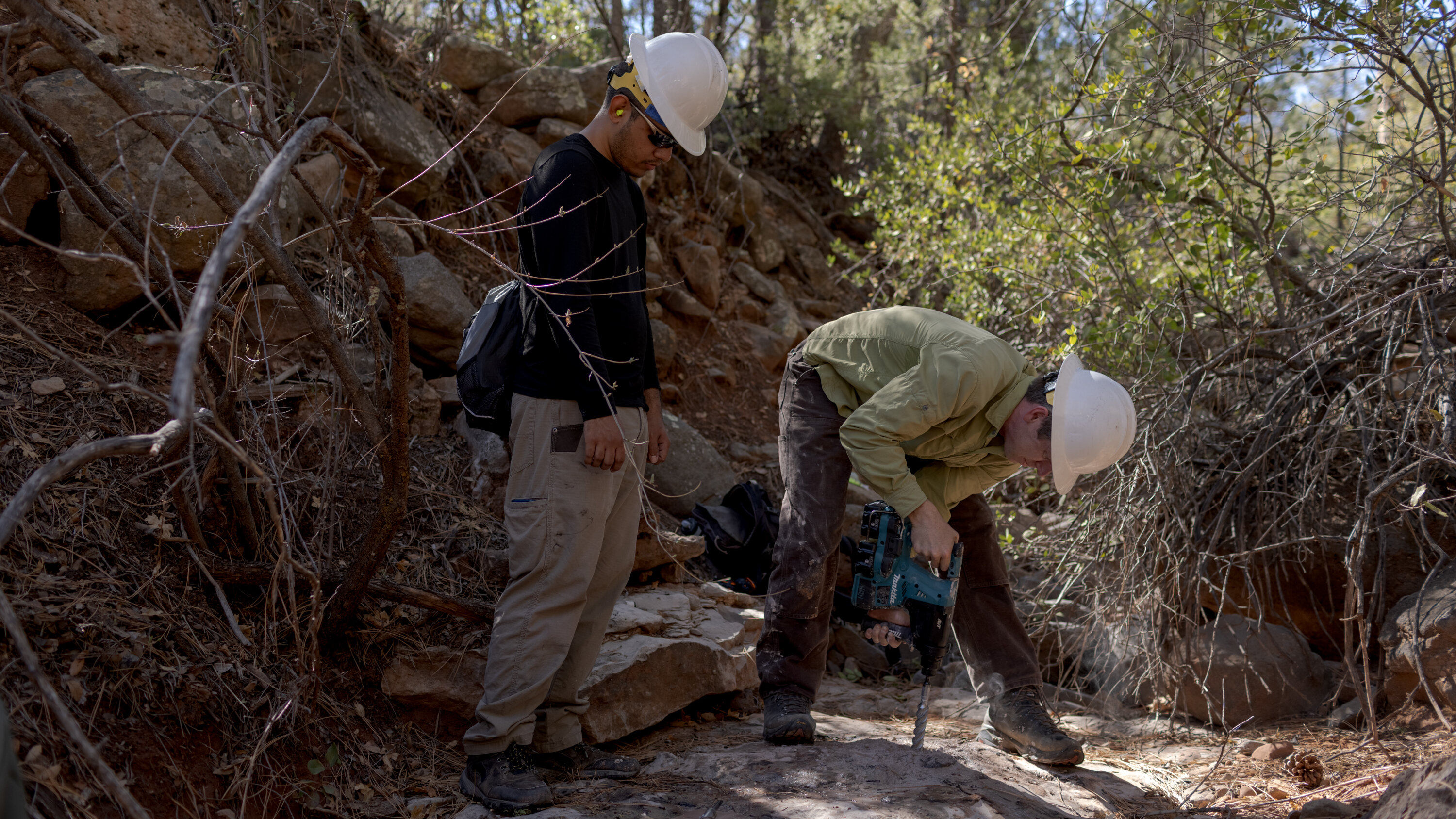
In the summer of 2025, researchers from the University of Arizona have been studying the threat of post-fire debris flows in the Tonto National Forest in Arizona. As wildfires and heavy rains become more frequent due to climate change, these fast-moving landslides have become a growing concern for emergency managers across the Western United States.
The researchers have installed pressure transducers, bullet-shaped devices that can measure water levels, in the dry streambeds of the Tonto National Forest. Their goal is to gather data on how water-laden rocks, soil, and debris can barrel downhill after heavy rainfall in areas previously burned by wildfires.
According to the data, over 90% of debris flows occur within the first two years after a wildfire. These flows can travel at speeds of up to 100 miles per hour, annihilating neighborhoods in their path. The researchers are working to better model where and how these deadly landslides could strike, as wildfires continue to expand into new areas.
As the climate crisis intensifies, the risks of both extreme wildfires and major rain events are rising. Researchers are racing to stay ahead of the threat, installing more monitoring equipment and gathering crucial data to help communities prepare for the growing danger of post-fire disasters.


