Home / Environment / Rare Hurricane Train Forms Over Warming Pacific Waters
Rare Hurricane Train Forms Over Warming Pacific Waters
3 Sep
Summary
- Three powerful cyclones are churning across the Pacific.
- Warm waters fueled by El Nino are intensifying the storms.
- Hawaii is still recovering from a recent hurricane impact.
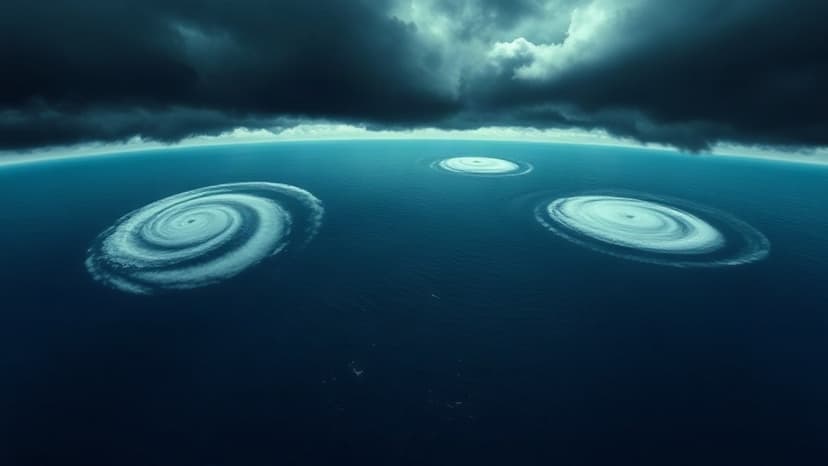
A historically strong El Nino is fueling a rare convergence of three powerful tropical cyclones in the Pacific Ocean. Hurricane Lowell and Hurricane Karina, both Category 4 storms, are moving across the ocean, with potential impacts near Hawaii. Tropical Storm Marie, expected to become a hurricane soon, follows behind.
Scientists explain that El Nino's warming of Pacific waters creates ideal conditions for storm intensification by providing ample fuel and reducing wind shear. This phenomenon has led to a significant increase in strong storms, with a similar event occurring in 2015. The current El Nino is projected to be one of the strongest on record, with global implications.
The impacts of this strong El Nino extend beyond storm formation, affecting weather patterns worldwide. Peru's anchovy industry has been devastated by warming seas, and Sudan faces critically low water levels in the Nile due to delayed rains. Climate change is exacerbating these El Nino-linked effects, leading to more extreme rainfall and drought conditions.


