Home / Environment / Lost Delhi Lake Rediscovered on Old Maps
Lost Delhi Lake Rediscovered on Old Maps
4 Mar
Summary
- An old two-mile-long lake has been identified on 19th and 20th-century maps.
- Most of the lake area in north Delhi has been built over, but a depression remains.
- Intach suggests reviving the lake and creating a biodiversity park on available land.
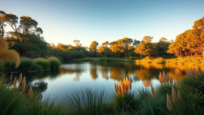
A nearly two-mile-long lake that once existed in north Delhi has been identified through old maps dating back to the 19th and early 20th centuries. Intach discovered traces of this significant water body, primarily located north of Bhalswa Lake, while preparing for an exhibition of historical charts and atlases.
Comparison of a 1932 map with current satellite imagery reveals that much of the lake's expanse, which covered areas like Qadipur and Nagli-Puna, has been developed. However, a roughly 10-acre natural depression still exists at the site.
Intach has formally communicated its findings to Delhi's lieutenant governor and the Delhi Development Authority. They propose restoring the water body and redeveloping adjoining public land into a biodiversity park spanning up to 24 hectares, potentially supporting the plantation of around 8,000 trees.
Residents in Kadipur village reported that a significant depression in the area frequently collects water, especially during monsoons, leading to mosquito breeding due to stagnant water and inadequate drainage. Unauthorized colonies have encroached upon parts of the former lakebed, with some ground floors situated below street level.
The exhibition, titled "The Romance of Old Maps: Tracing Lost Landscapes," showcased over 40 historical maps, including a 1807 map of Delhi and a 1850 map of Shahjahanabad, highlighting the region's past topography and urban development.