Home / Environment / Drone Survey Maps Hooghly River Pollution Sources
Drone Survey Maps Hooghly River Pollution Sources
20 Jan
Summary
- Drone survey to map 120 km of Hooghly riverbanks for pollution.
- Survey aims to ensure no untreated wastewater discharges into the river.
- Advanced drone tech will identify outfall drains with precise locations.
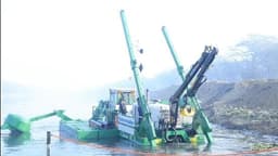
The State Mission for Clean Ganga in West Bengal, with technical support from KMDA, is undertaking a pioneering drone-based survey to combat pollution in the Hooghly river. This initiative will cover approximately 120 km of the riverbanks, from Kalyani to Diamond Harbour, identifying and mapping all drains discharging wastewater.
The advanced drone survey technology will pinpoint the exact locations and dimensions of these outfall drains. This data will be cross-referenced with existing records and supplemented with newly identified discharge points, ensuring a comprehensive understanding of pollution sources. The objective is to prevent any untreated wastewater from entering the river.
This detailed mapping is a crucial step towards developing effective pollution abatement strategies. It will facilitate the planning of wastewater treatment projects and explore possibilities for reusing treated wastewater for purposes like pisciculture or gardening. Ultimately, the authorities aim to establish a master plan to manage liquid waste and eliminate river pollution in the Kolkata Metropolitan Area by 2042.