Home / Environment / UP's Ganga Revival: Drones & LiDAR Lead Way
UP's Ganga Revival: Drones & LiDAR Lead Way
6 Jan
Summary
- High-resolution aerial surveys map Ganga's pollution hotspots.
- GIS dashboard offers 2D/3D visualization for monitoring.
- LiDAR and drone data identify all drains feeding the river.
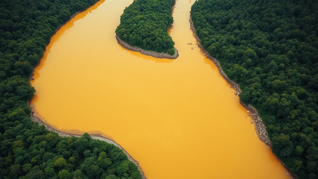
Uttar Pradesh is implementing cutting-edge technology to clean and rejuvenate the Ganga River. High-resolution aerial surveys, utilizing LiDAR and drone imagery, have generated precise geospatial data to identify pollution hotspots and all drains discharging into the river. This data is integrated into a live, GIS-based dashboard offering 2D and 3D visualizations for round-the-clock monitoring and prioritized drain remediation.
The initiative emphasizes a comprehensive response to drainage challenges, enhancing surveillance of sewage treatment infrastructure. A key focus remains on the reuse of treated wastewater, with states directed to expedite policy formulation aligned with national frameworks. Innovative solutions like aquifer mapping and bioremediation projects are also being explored to support the clean-up efforts.
To further bolster compliance, the National Mission for Clean Ganga is introducing AI-enabled CCTV monitoring for Sewage Treatment Plants (STPs). This system complements existing continuous effluent monitoring, adding a vital layer of physical and visual oversight to ensure the effective operation of STPs and contribute to a cleaner Ganga.