Home / Environment / El Niño's Stormy Arrival: Wet Fall for U.S.
El Niño's Stormy Arrival: Wet Fall for U.S.
17 Aug
Summary
- El Niño predicts wet and stormy fall and winter for much of the U.S.
- This phenomenon is linked to warming equatorial Pacific waters.
- El Niño can worsen drought in some regions while causing floods elsewhere.
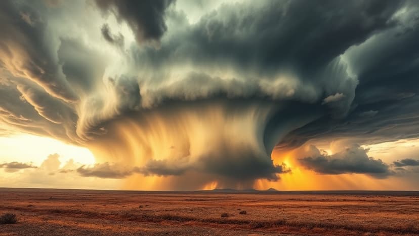
Large areas of the United States are anticipating a wet and stormy fall and winter due to a predicted strong El Niño phenomenon. Data indicates this event, linked to the warming of equatorial Pacific waters, significantly impacts global weather patterns.
El Niño's influence is complex; while it can exacerbate drought conditions in regions such as the Pacific Northwest and the Amazon, it is expected to bring excess rain to other parts of the world. Conversely, its counterpart, La Niña, which involves the cooling of these Pacific waters, leads to different climatic effects.
These phenomena are part of the larger El Niño-Southern Oscillation (ENSO) cycle. During El Niño, weakened trade winds cause warm Pacific water to accumulate along the American coast, resulting in increased rainfall across the United States. Neutral conditions prevail when temperature anomalies are minimal.


