Home / Environment / Tectonic Fury: Unraveling Colombia's Deadly Quake
Tectonic Fury: Unraveling Colombia's Deadly Quake
12 Aug
Summary
- Colombia and Venezuela are situated on active tectonic plate boundaries.
- Earthquake magnitude scales logarithmically, with each unit representing over 30 times more energy.
- Building codes, terrain, and infrastructure quality significantly impact earthquake survival rates.
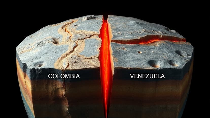
Colombia is experiencing a series of devastating earthquakes due to its location on active tectonic plate boundaries. The recent 7.4 magnitude quake, occurring on August 12, 2026, at a depth of 100 km, followed significant tremors in neighboring Venezuela in late June 2026. These seismic events are driven by the friction between the Nazca and South American plates, releasing built-up energy.
The impact of earthquakes is measured by magnitude, with each unit on the logarithmic scale representing over 30 times more energy. The recent Colombian quake, while strong, was less energetic than the historic 1906 magnitude 8.8 event. Furthermore, the strike-slip motion of these earthquakes causes horizontal shaking, which is particularly dangerous for structures.
Damage from earthquakes is heavily influenced by terrain and infrastructure quality. Cities with informal housing or poor engineering are more vulnerable. Colombia has been developing earthquake-resistant construction standards since the 1970s, with its current building code established in 2010. Soft terrain, like that found in Mexico City or Venezuela's La Guaira, amplifies seismic waves, increasing destructive potential.
Scientists emphasize that while earthquakes cannot be predicted or prevented, their effects can be mitigated through improved building codes, resilient infrastructure, and extensive seismic monitoring. Global data sharing is crucial, as plate boundaries often lie along political and continental borders, necessitating international cooperation in understanding and preparing for seismic risks.


