Home / Environment / Coastal Danger: El Niño Fuels Flooding Fears
Coastal Danger: El Niño Fuels Flooding Fears
6 Nov
Summary
- El Niño's Kelvin wave is raising sea levels along BC's coast.
- Combined hazards could cause significant coastal flooding.
- Victoria is upgrading infrastructure for future sea level rise.
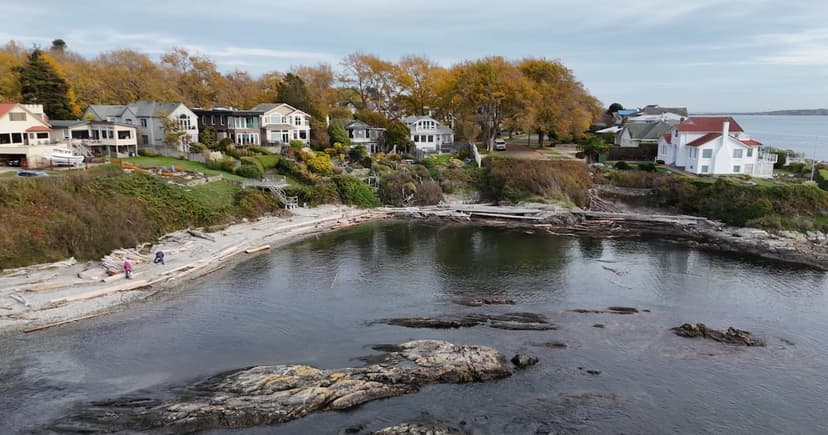
Coastal communities near Greater Victoria are advised to prepare emergency plans due to heightened flood risks from unusual ocean conditions. A Kelvin wave, a pulse of elevated ocean water caused by El Niño, is contributing to higher sea levels. This phenomenon, combined with seasonal king tides and storm surges, poses a significant threat. The current El Niño event is noted as exceptionally strong, with potential to elevate average sea levels by approximately 30 centimetres during winter months.
The City of Victoria is proactively addressing coastal flooding through its infrastructure planning. Staff continuously monitor weather and tide levels, with operational crews ready to respond. Preparations include clearing catch basins and inspecting infrastructure. The city is also modeling future climate scenarios, anticipating a potential one-metre sea level increase by 2110 and incorporating these into major projects like the Dallas Road stormwater outfall renewal.
Residents are also encouraged to take preventative measures, such as maintaining clean gutters and clearing catch basins. During severe weather, coastal areas may experience road closures and debris on roadways. Regional efforts include a study with neighboring municipalities on flood impacts along the Gorge and the Capital Regional District's flood inundation mapping project, which aids in identifying vulnerable infrastructure and areas across southern Vancouver Island and the Southern Gulf Islands.


