Home / Education / Maps Lie: How Projections Distort Our World
Maps Lie: How Projections Distort Our World
21 Sep
Summary
- Mercator projection inflates polar regions and shrinks continents.
- Distorted maps influenced geopolitical theories and colonial ambitions.
- Equal Earth projection offers a more accurate visual representation.
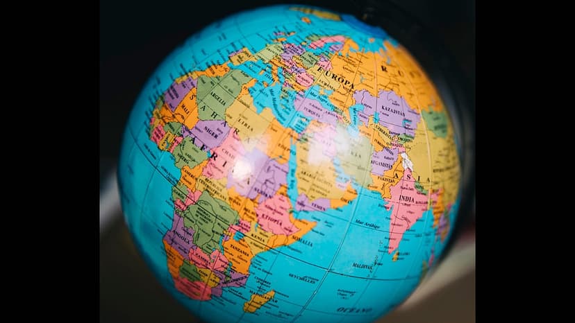
For centuries, the Mercator map projection has profoundly influenced global perception, often inflating the perceived size of colonial powers while minimizing continents like Africa and Asia. This visual distortion is now scrutinized for its potential to reinforce lingering colonial hierarchies.
Developed in the 16th century, Mercator remains valuable for navigation due to its angle-preserving properties. However, it severely distorts polar landmasses. This distortion historically impacted geopolitical thought, influencing theories that exaggerated the importance of regions like Eurasia, fueling colonial competition and ambitions.
Educational institutions, particularly in India, face criticism for inadequate teaching of map projections and their inherent distortions. Textbooks have often used maps from external agencies, sometimes including those prepared by intelligence services, leading to a diluted understanding of cartography.
Alternatives like the Equal Earth projection offer a more accurate representation of relative landmass sizes. While not a panacea for global inequality, shifting to fairer projections is seen as a meaningful signal that can influence how geography and history are taught, promoting a more balanced visual understanding for students.


